Ulaanbaatar City Map
Ulaanbaatar city map guide: the nine districts, Sükhbaatar Square, Peace Avenue, the main landmarks and how the city stretches along the Tuul River valley.
3 min read · Updated
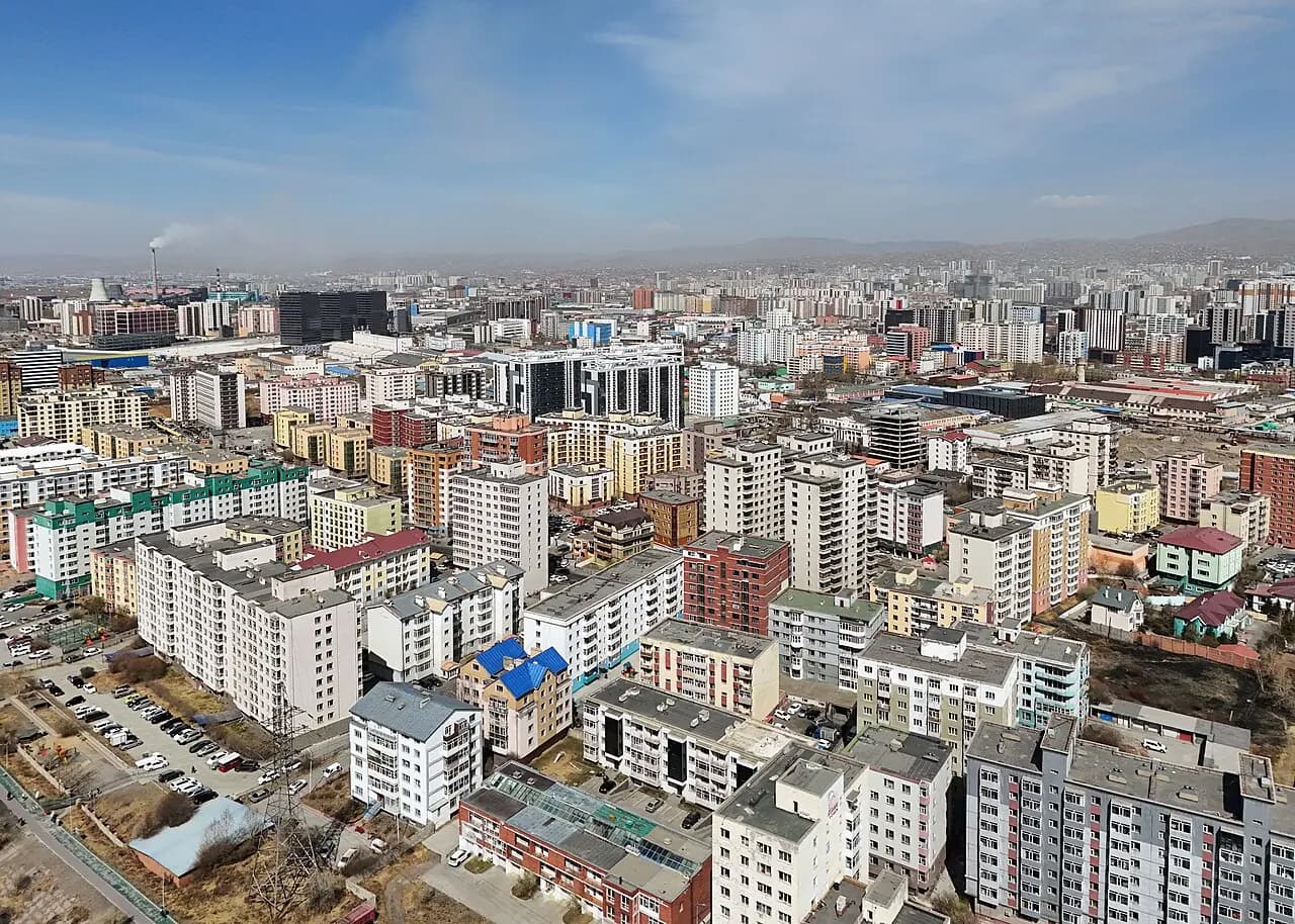
Photo: Quintin Soloviev · CC BY 4.0 · Wikimedia Commons
Ulaanbaatar is laid out along the Tuul River valley, stretching for more than 20 km from east to west with mountains on either side. The centre is Sükhbaatar Square, and the main artery, Peace Avenue, runs east–west just north of it; most sights, hotels and restaurants are within walking distance of these two landmarks.
How the city is laid out
Ulaanbaatar lies at about 1,350 m above sea level in the valley of the Tuul River, which flows along the southern side of the city. Four sacred mountains surround it: Bogd Khan Uul to the south (protected since the 18th century), Chingeltei to the north, Songino Khairkhan to the west and Bayanzürkh to the east. The city grew along the valley floor: apartment blocks fill the centre and line the main roads, while the ger districts — neighbourhoods of gers and small houses — spread up the hills to the north, east and west. The Trans-Mongolian Railway runs through the city, and the main railway station is south-west of the centre.
Ulaanbaatar's districts
The city has nine districts (düüreg). Six form the main urban area:
- Sükhbaatar — the city centre, the Government Palace and northern neighbourhoods.
- Chingeltei — north of the centre, rising into hillside ger districts.
- Bayangol — west-central, with many apartments and shops.
- Bayanzürkh — the east of the city, one of the largest districts.
- Songinokhairkhan — the west, with extensive ger districts.
- Khan-Uul — south of the Tuul River, with Zaisan, new developments and the road to the airport.
The other three lie outside the main city: Nalaikh (about 35 km east), Baganuur (about 130 km east) and Bagakhangai (to the south-east).
Sükhbaatar Square and the centre
The square is named after Damdin Sükhbaatar, a leader of the 1921 revolution, whose equestrian statue stands in the middle. It was renamed Chinggis Square in 2013 and reverted to Sükhbaatar Square in 2016, so you will hear both names. On the north side stands the Government Palace, fronted by a large seated statue of Chinggis Khaan flanked by Ögedei and Kublai. The salmon-pink State Opera and Ballet Theatre is on the east side, the National Museum of Mongolia is close by, and the Choijin Lama Temple Museum is a few minutes' walk to the south.
Peace Avenue and the main landmarks
- Peace Avenue (Enkh Taivny Örgön Chölöö) — the main east–west road; the State Department Store stands on it, west of the square.
- Gandan Monastery — on a hill north-west of the centre, home to the Migjid Janraisig statue, about 26 m tall.
- Bogd Khan Palace Museum — in the south of the city, near the Tuul River.
- Zaisan Memorial — on a hill south of the river, with panoramic views over the city.
- National Sports Stadium — in the south of the city, where the Naadam opening ceremony is held.
- Narantuul Market (the "Black Market") — a large open market in the east.
- Seoul Street — south of the centre, lined with restaurants and cafés.
The new international airport is about 50 km south of the city.
Practical tips
- The centre is easy to explore on foot; use taxis or ride-hailing apps for longer distances.
- Rush-hour traffic is very heavy, so allow extra time for trips to Zaisan or the airport.
- Addresses are often given by nearby landmarks, so write your destination's name in Cyrillic.
- City buses use a rechargeable transport card; check current arrangements locally.
- Take care crossing roads, even at pedestrian crossings.
Frequently asked questions
How many districts does Ulaanbaatar have?
Nine: Sükhbaatar, Chingeltei, Bayangol, Bayanzürkh, Songinokhairkhan and Khan-Uul, plus the outlying Nalaikh, Baganuur and Bagakhangai.
Are Sükhbaatar Square and Chinggis Square the same place?
Yes. The square was called Chinggis Square from 2013 to 2016 before reverting to Sükhbaatar Square, so both names are used.