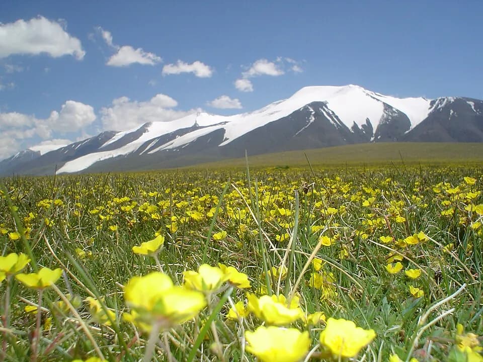
A glaciated, snow-capped massif of over 4,000 m on the Khovd and Bayan-Ölgii border, with snow leopards.
Tsambagarav is a permanently snow-capped massif of the Mongol Altai on the border between Khovd and Bayan-Ölgii aimags, protected since 2000 in a national park of about 1,110 km². Its highest point, Tsast Uul, is usually given as 4,193 m, and the summit named Tsambagarav as about 4,165 m. With a topographic prominence of about 1,757 m, the mountain stands well clear of its neighbours and dominates the view from the surrounding plains. It is also a regional sacred mountain.
Shrinking ice
The upper massif carries a cap of glaciers that feed glacial lakes and meltwater streams running down rocky gorges. Satellite studies show that the ice is retreating fast: glacier area fell from about 132 km² in 1977 to about 64 km² in 2017, a loss of more than half, and the researchers expect the glaciers could disappear within decades. Below the ice are moraines and scree, then high pastures, with steppe on the lower slopes.
Wildlife and herders
The park is known for its snow leopards and is also home to argali and Siberian ibex. These animals are wary, and you are unlikely to see a snow leopard without days of patient searching with a local tracker. In summer, Kazakh herding families move up to the high pastures with their flocks and herds, and come down again before winter. Visiting a family with a guide gives an insight into high-mountain herding life.
Altitude and timing
July and August are the main season, when the high valleys are mostly free of snow. Nights are cold all year, and frost or snow is possible even in summer. Ascend gradually, drink plenty of water and turn back if you develop a bad headache, nausea or breathlessness. The glaciers have crevasses, so any glacier travel needs ropes, crampons and an experienced guide.
Photo: Altaihunters · CC BY-SA 3.0 · Wikimedia Commons
Things to do at Tsambagarav Uul National Park
5 activities · best season: Summer, Autumn
Hiking · full day
Trek to the foot of the glaciers
Valleys below the peaks lead up towards the glaciers and glacial lakes. Go with a local guide, as there are no marked trails.
Read the guide →Horse riding · half day
Ride with herders
Local families can arrange horses to explore the high pastures, where walking at altitude is tiring.
Read the guide →Culture · 2–3 h
Visit Kazakh herding families
In summer, Kazakh families camp on the slopes with their herds. Some keep golden eagles for hunting; visit with a guide who can introduce you.
History · 1–2 h
Find the deer stones
Ancient deer stones, carved standing stones typical of western Mongolia, stand within the park. Ask your guide to show you.
Climbing · 2–3 days
Climb a glaciated summit
The main summits are on glaciers and need crampons, ropes and mountaineering experience. Only attempt them with an experienced guide and proper equipment.
When to go & how to get there
Weather by month
Getting there
Fly from Ulaanbaatar to Khovd or Ölgii, or drive (two to three days on the long western road). The mountain stands between the two towns; the last stretch into the park is on unpaved tracks that need a 4x4 and a local driver.
Where to stay
Camping is the usual way to stay in the park, and a few ger camps and herding families host visitors in summer. Bring warm clothing even in July, as nights at altitude are cold.
Gallery
1 photos · tap to enlarge · sources credited on each photo
Where is Tsambagarav Uul National Park?
from Ulaanbaatar from Ölgii · a dotted end marks a stretch with no road
Khovd province · nearest town: Khovd
Western Mongolia
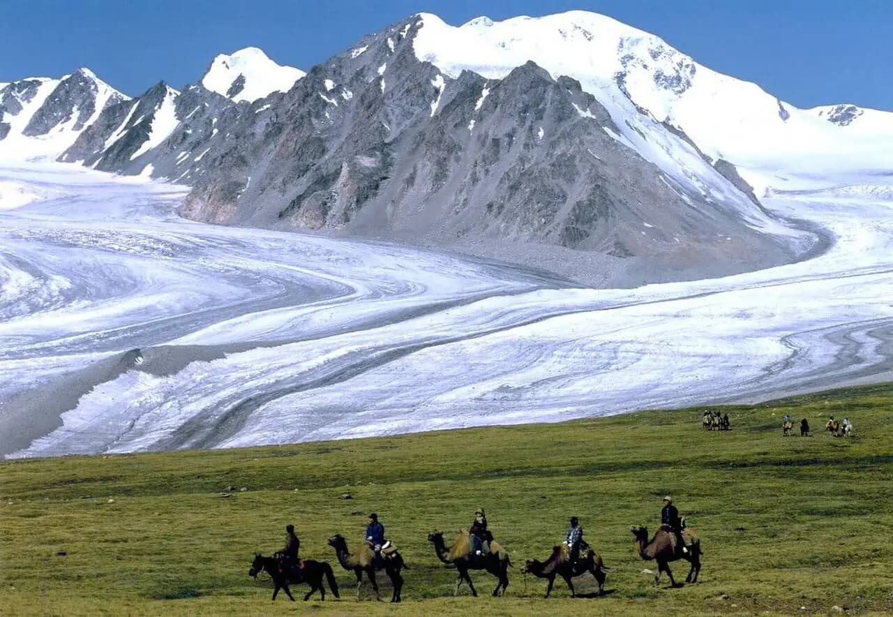
Altai Tavan Bogd
Mongolia's highest peak Khüiten (4,374 m) and the Potanin glacier.
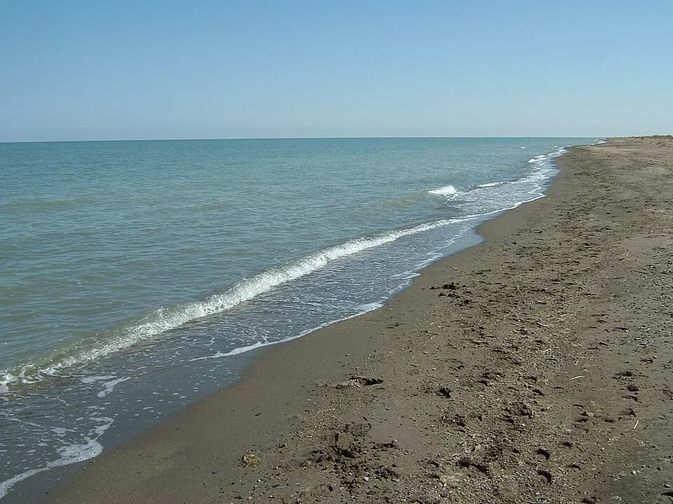
Uvs Lake
Mongolia's largest lake, a UNESCO biosphere reserve.
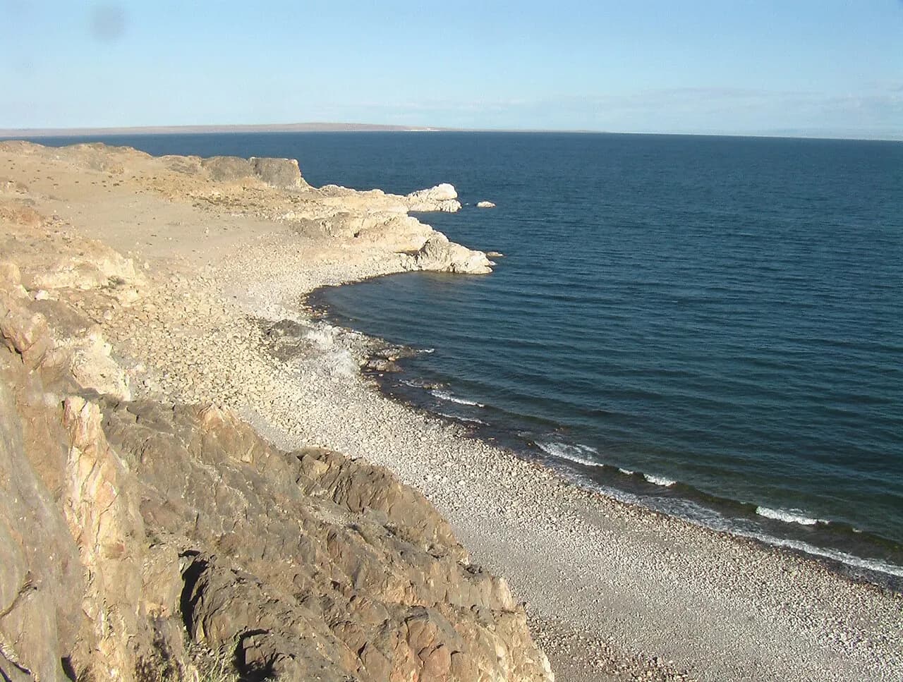
Khyargas Lake & Khetsüü Khad
A sea-like lake in the desert, with a cliff colony of cormorants.