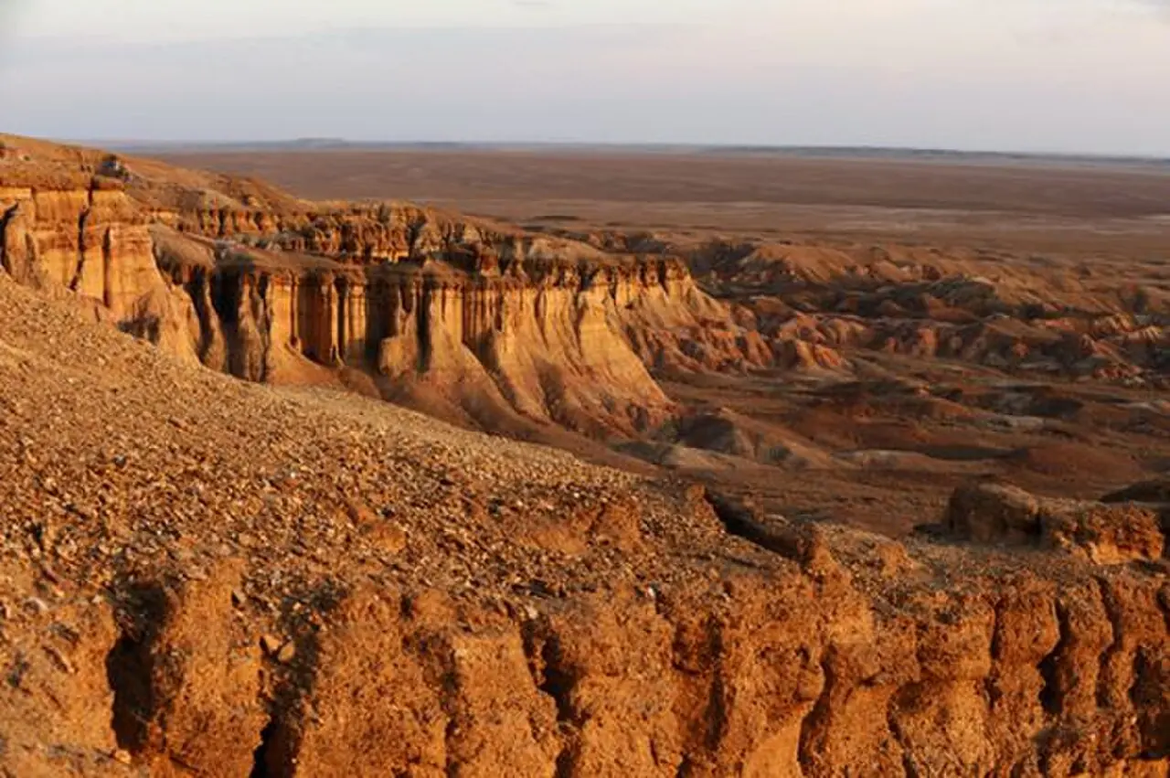
A 60 m wall of multicoloured clay, once a sea floor.
Tsagaan Suvarga, the 'White Stupa', is an eroded escarpment south-west of Ölziit soum on the southern edge of Dundgovi. Seen from a distance across the flat steppe, its pale towers look like a row of stupas or a ruined city. Close up, the cliff is about 400 m long and up to around 60 m high, cut into fluted walls, ridges and gullies.
Layers of colour
The escarpment is made of soft sedimentary layers, and erosion by wind and rare heavy rain has exposed bands of white, pink, orange and deep red. The colours come from minerals in the rock that changed once they were exposed to air. Many guides describe the area as an ancient sea floor and point out shell fragments in the rock. The colours look strongest in low light and just after rain. A smaller formation with similar colours, Ulaan Suvarga ('Red Stupa'), lies to the south-west.
Exploring the cliffs
There are two ways to see Tsagaan Suvarga: from the plateau above, which gives a wide view over the cliffs and the plain, and from below, walking into the side canyons at the foot of the wall. Walking up from the base to the top takes about an hour. Allow two to three hours in total. Early summer, when the steppe is green and wildflowers bloom, is the most photogenic time; spring can be windy and dusty.
Staying safe
The clay and sandstone are soft and break away easily, and overhangs at the rim can collapse. Keep well back from the edge, do not climb the pinnacles, and avoid the steep slopes after rain, when the clay turns slippery. Leave fossils and stones where they lie, and carry all the water you need, as there is none at the site.
Photo: Ujin bold · CC BY 4.0 · Wikimedia Commons
Things to do at Tsagaan Suvarga
4 activities · best season: Summer, Autumn, Spring
Hiking · 2 h
Walk the foot of the escarpment
Wander below the 'White Stupa' cliffs and into the side canyons to see the pink, orange and white layers up close.
Photography · 1 h
Catch sunrise or sunset on the cliffs
Low light turns the bands of rock red and gold; the rim gives a wide view over the Dundgovi steppe.
Camping · Overnight
Camp on the plateau
There is plenty of space for tents above the cliffs, and a few ger camps nearby. Bring all water and fuel.
Stargazing · Evening
Stargaze far from any town
The open steppe and dry air make for very dark skies.
When to go & how to get there
Weather by month
Getting there
Tsagaan Suvarga is off the main roads, south of Ölziit soum in Dundgovi. It is usually the first stop of a Gobi tour, reached by 4x4 from Ulaanbaatar via Mandalgovi in a long day. There is no public transport to the site.
Where to stay
A few ger camps sit near the cliffs, and camping is possible on the plateau. Mandalgovi, the provincial centre, has hotels and shops.
Gallery
4 photos · tap to enlarge · sources credited on each photo
Where is Tsagaan Suvarga?
from Ulaanbaatar from Mandalgovi · a dotted end marks a stretch with no road
Dundgovi province · nearest town: Ölziit soum
Guides that mention Tsagaan Suvarga
- Mongolia Travel MapMongolia travel map explained: the Gobi, Central Khangai, Khövsgöl in the north, the western Altai and the eastern steppe, with classic routes from Ulaanbaatar.
- Gobi Desert Tour MapGobi Desert tour map: the classic 6–8 day loop from Ulaanbaatar via Tsagaan Suvarga, Yolyn Am, Khongoryn Els, Bayanzag and Kharkhorin, with rough distances.
- Top 10 Places to Visit in MongoliaTop 10 places to visit in Mongolia, from Ulaanbaatar and the Gobi dunes to Kharkhorin, Lake Khövsgöl and the Altai, with tips on planning your route.
Gobi
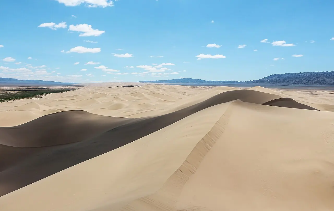
Khongoryn Els
The 'singing sands': one of Mongolia's largest dune fields, with ridges said to reach 300 m.
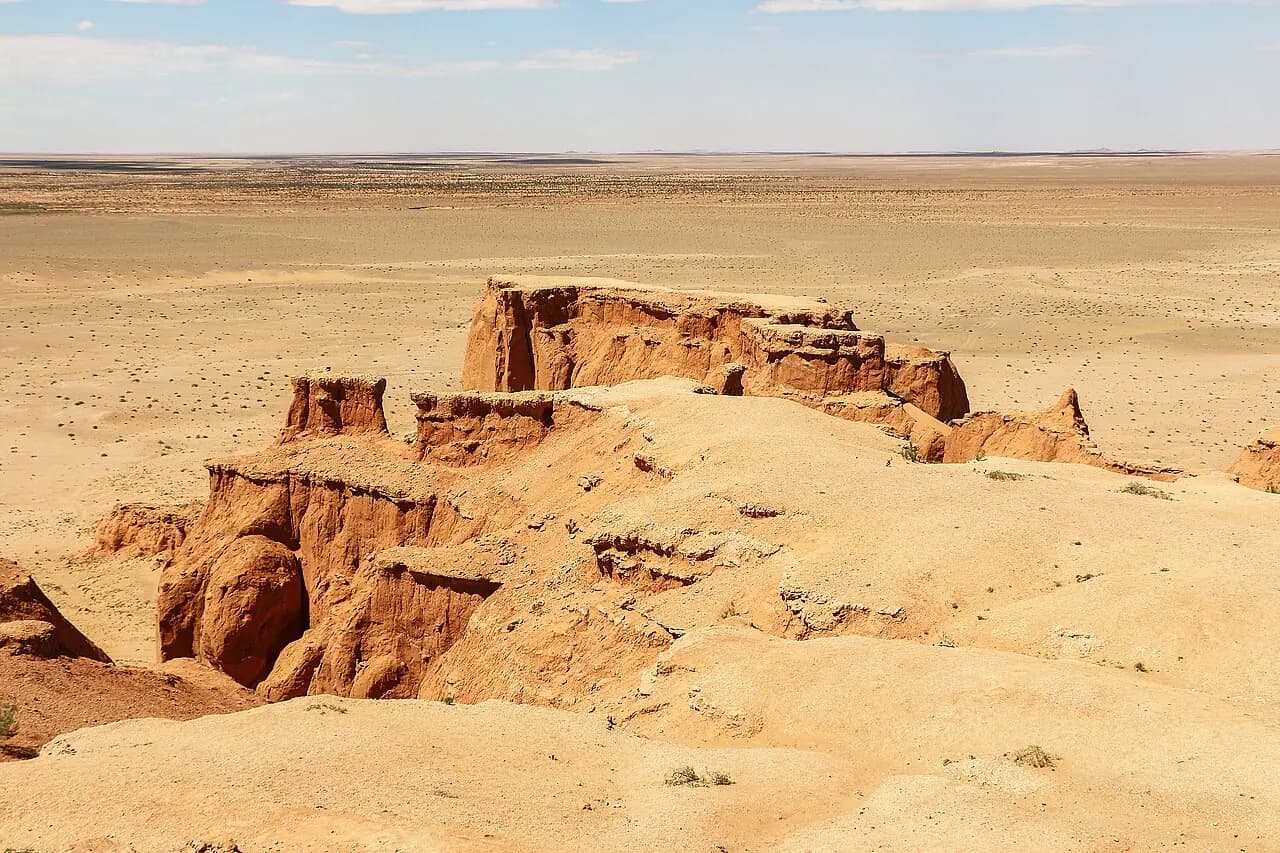
Bayanzag (Flaming Cliffs)
The red cliffs where dinosaur eggs were first discovered.
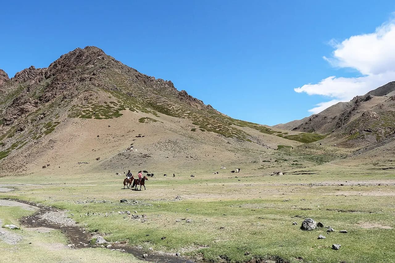
Yolyn Am
An ice-filled gorge in the heart of the Gobi; the ice survives into midsummer.