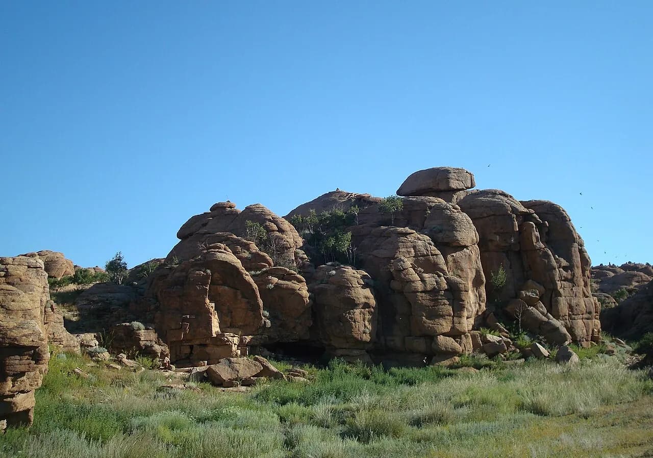
A maze of weathered granite outcrops rising from the steppe of northern Dundgovi, with monastery ruins and a spring.
Baga Gazriin Chuluu is a cluster of granite outcrops in Delgertsogt soum of Dundgovi, about 250 km south of Ulaanbaatar, rising abruptly from flat desert steppe. The rocks spread over roughly 15 km and reach about 1,768 m at their highest point. Hidden among them are the ruins of a 17th-century temple, inscriptions left by two 19th-century monks, caves and a rock pool said to cure eye complaints.
Granite and wildlife
The outcrops are part of a granite body that formed in the Late Triassic, more than 200 million years ago. Over a very long time, weathering has rounded the granite into domes, boulders and stacked blocks, and has widened its cracks into narrow passages and small canyons. Argali and Siberian ibex live among the rocks, but they keep to the quieter parts and are most likely to be seen early in the morning. Part of the area, about 27 km², is listed as a protected area.
Exploring safely
Half a day is enough for a walk through the main maze and a scramble to a viewpoint, but an overnight stay lets you see the granite turn orange at sunset and sunrise. The rock surface is coarse and its grains break away, so test every hold, wear shoes with good grip and do not climb alone. It is easy to lose your bearings among boulders that look alike; note landmarks or carry a GPS. The temple ruins and inscriptions are protected heritage: do not add graffiti or move stones, and treat the eye-healing pool as a sacred place, not for washing or swimming.
When to go
May to September is the usual season. Summer days can be hot, while spring often brings strong wind and dust. There are no reliable streams, so carry all the water you need.
Photo: Arabsalam · CC BY-SA 4.0 · Wikimedia Commons
Things to do at Baga Gazriin Chuluu
5 activities · best season: Spring, Summer, Autumn
Hiking · 2–3 h
Walk through the granite maze
Follow the side entrances into the rock labyrinth and scramble between smooth, wind-worn boulders and narrow canyons.
Read the guide →Climbing · 1–2 h
Scramble up for the view
Climb one of the higher outcrops for a view over the rocks and the surrounding steppe. The granite is rough but crumbly in places, so take care and avoid climbing alone.
History · 1–2 h
Find the temple ruins and inscriptions
Look for the ruins of the 17th-century temple and the inscriptions carved by two monks who lived here in the 19th century. A local guide makes them much easier to find.
Culture · 30 min
Visit the eye-healing spring
A narrow cleft in the rock holds rainwater that locals believe cures eye ailments; pilgrims rinse their eyes with a small ladle left by the pool.
Stargazing · Overnight
Camp among the rocks
The rocks shelter campsites from the wind, and the dark Gobi sky is good for stargazing on clear nights.
When to go & how to get there
Weather by month
Getting there
Baga Gazriin Chuluu is about 250–260 km south of Ulaanbaatar. Drive the paved road towards Mandalgovi, then turn off onto dirt tracks for the last stretch to the rocks; a 4x4 or high-clearance vehicle and a driver who knows the tracks are recommended. Allow around 4–5 hours. It is a common first stop on routes from Ulaanbaatar to the southern Gobi.
Where to stay
A few ger camps and family ger stays operate in the area, and many travellers camp among the rocks. Bring all the water you need, as surface water is scarce.
Gallery
4 photos · tap to enlarge · sources credited on each photo
Where is Baga Gazriin Chuluu?
from Ulaanbaatar from Mandalgovi · a dotted end marks a stretch with no road
Dundgovi province · nearest town: Delgertsogt soum
Gobi
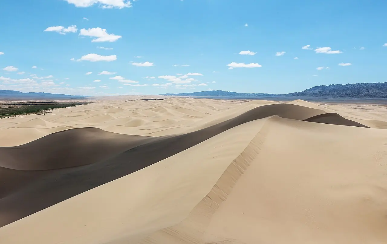
Khongoryn Els
The 'singing sands': one of Mongolia's largest dune fields, with ridges said to reach 300 m.
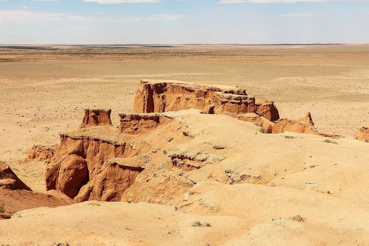
Bayanzag (Flaming Cliffs)
The red cliffs where dinosaur eggs were first discovered.
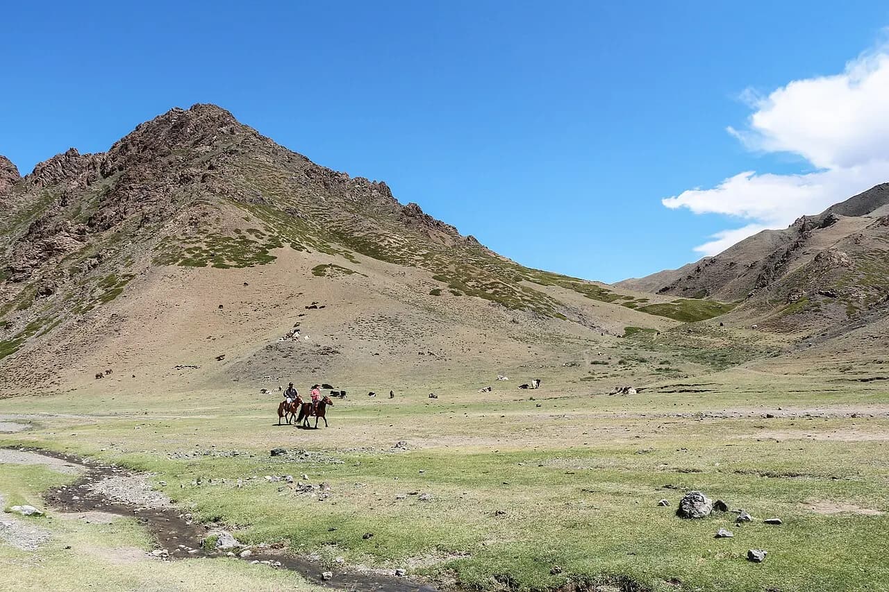
Yolyn Am
An ice-filled gorge in the heart of the Gobi; the ice survives into midsummer.